Google Maps Engineering Manager Paul Rademacher recently launched a page that shows how big the Oil Spill in the Gulf of Mexico in comparison to different metropolitan areas. For example, you can see how the size of it compares to New York City, by seeing an overlay overtop of the city.
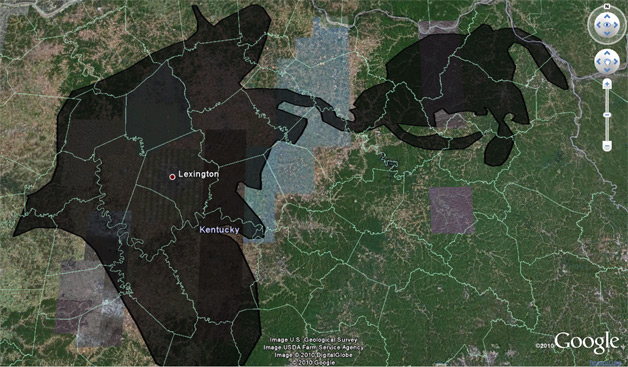
You can browse the cities listed on the page, or you can enter in your own hometown, and this will help you put it into perspective. Here’s what it looks like compared to our hometown of Lexington, KY:
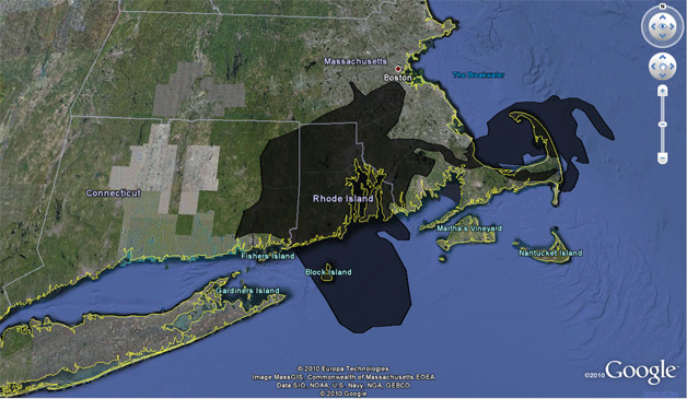
Here’s what it looks like over the state of Rhode Island:
Google also has a crisis response site set up for the oil spill, and provides various Google Earth layers, news, updates, and user-generated video uploading.


 WebProNews is an iEntry Publication